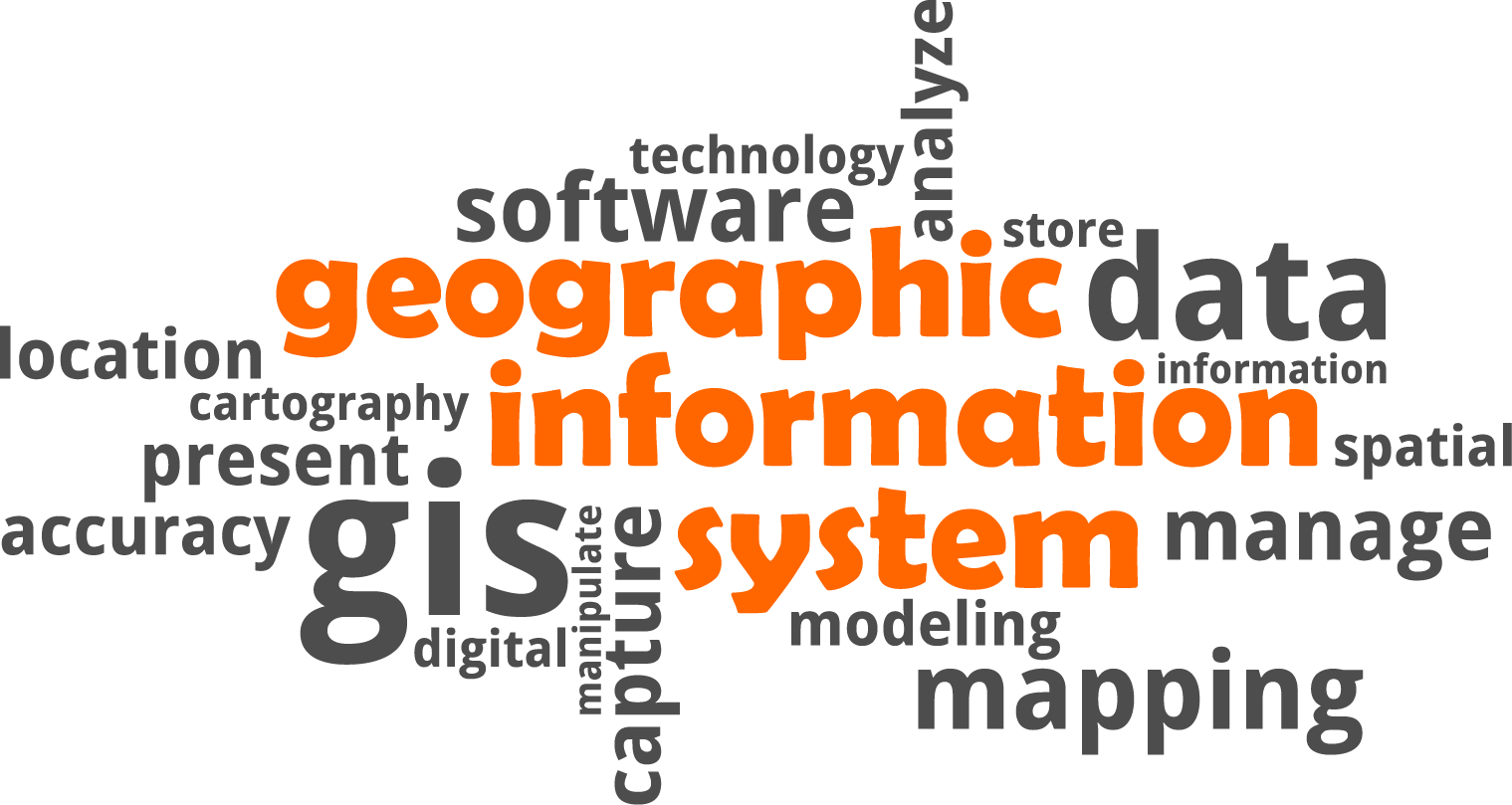
GIS uses geography as a means of organizing and presenting information. It helps us visualize, analyze, and interpret data to understand relationships, patterns, and trends. Local government geospatial programs can support a wide variety of government functions and provide the opportunity to minimize costs and maximize benefits for a jurisdiction’s investments. A common saying in the geospatial community is “Build it once, use it a bunch.”
Pioneer Trails RPC provides GIS (geographic information system) mapping services to its member communities and governments. With the advancement of geospatial technologies, GIS tools have played valuable roles in many aspects of planning. GIS allows us to view, understand, question, interpret, and visualize data in many ways that reveal relationships, patterns, and trends. GIS tools help us manage and analyze the physical characteristics of communities, improve the efficiency of government services and decision making, while enabling informed and interactive public participation. Pioneer Trails continues to use the most current GIS technology to compile and manage data, produce maps, provide spatial analysis, and implement solutions for specific community requests.
Pioneer Trails GIS mapping service can provide overall coordination and planning, data management and development, and technical assistance along with training for GIS activity within the Pioneer Trails region. Pioneer Trails GIS mapping provides quality customized, user-friendly mapping solutions that could include GIS data, custom maps, and visualizations such as inventories, online maps, interactive applications, Story Maps, brochures, and graphics. To better serve member communities, Pioneer Trails GIS mapping is happy to share data, information, knowledge, and technical expertise with local governments and the general public.
Pioneer Trails RPC can partner with your community or organization and work to create or enhance your GIS capabilities.
Pioneer Trails wants to partner with you to:
-- CREATE new customized mapping layers
-- COLLECT high accuracy GPS data for layer population
-- UPDATE exsisting layers with current or newly collected data
-- MAINTAIN mapping layers so you can better manage data
-- PUBLISH information to the web to increase services and accessibility
Geographic information system (GIS) technology can provide support for many aspects of what a local government does and services it provides. These aspects could include but NOT limited to:
Community Development
- Land-use analysis
- Capital Improvement planning
- Zoning efforts
- Ward boundary reassessment
Economic Development
- Special district assessments
- Job creation
- Business retention & attraction
Transportation
- Infrastructure/Asset inventory management & maintenance
- Capital project management
Public Works
- Park management
- Permitting
- Infrastructure/Asset inventory management